In 1992 Jeff Thomas took a trip to Ottawa. As an Indigenous artist, he was interested in attending the exhibition Land, Spirit, Power: First Nations at the National Gallery of Canada. At that time, the current site of the National Gallery of Canada (NGC) was still a new one having been built only 5 years prior in 1988. Also new was the NGC’s engagement with contemporary Indigenous artists. He arrived into this changing landscape unaware at the moment how important this visit would become to him.
Just beyond the Gallery’s concrete, glass and granite structure is a lookout point. Standing at the highest elevation, the scene that opens up is a dramatic one: bridges connecting two provinces, the urban infrastructure of two cities (one Anglophone, one Francophone), buildings for administering the Canadian Government’s law and policy as well as for housing the art and culture of Canada.
From this point, looking out towards Quèbec, you will see the Canadian Museum of History, the Indigenous Affairs buildings, and the former town of Hull, now the municipality of Gatineau.
In Ontario, to your right you will see the Canadian Mint, to your left, the Parliament Buildings, the Supreme Court of Canada and the Library and Archives all positioned on the edge of the rocky cliffs.
Colonial buildings dominate both sides.
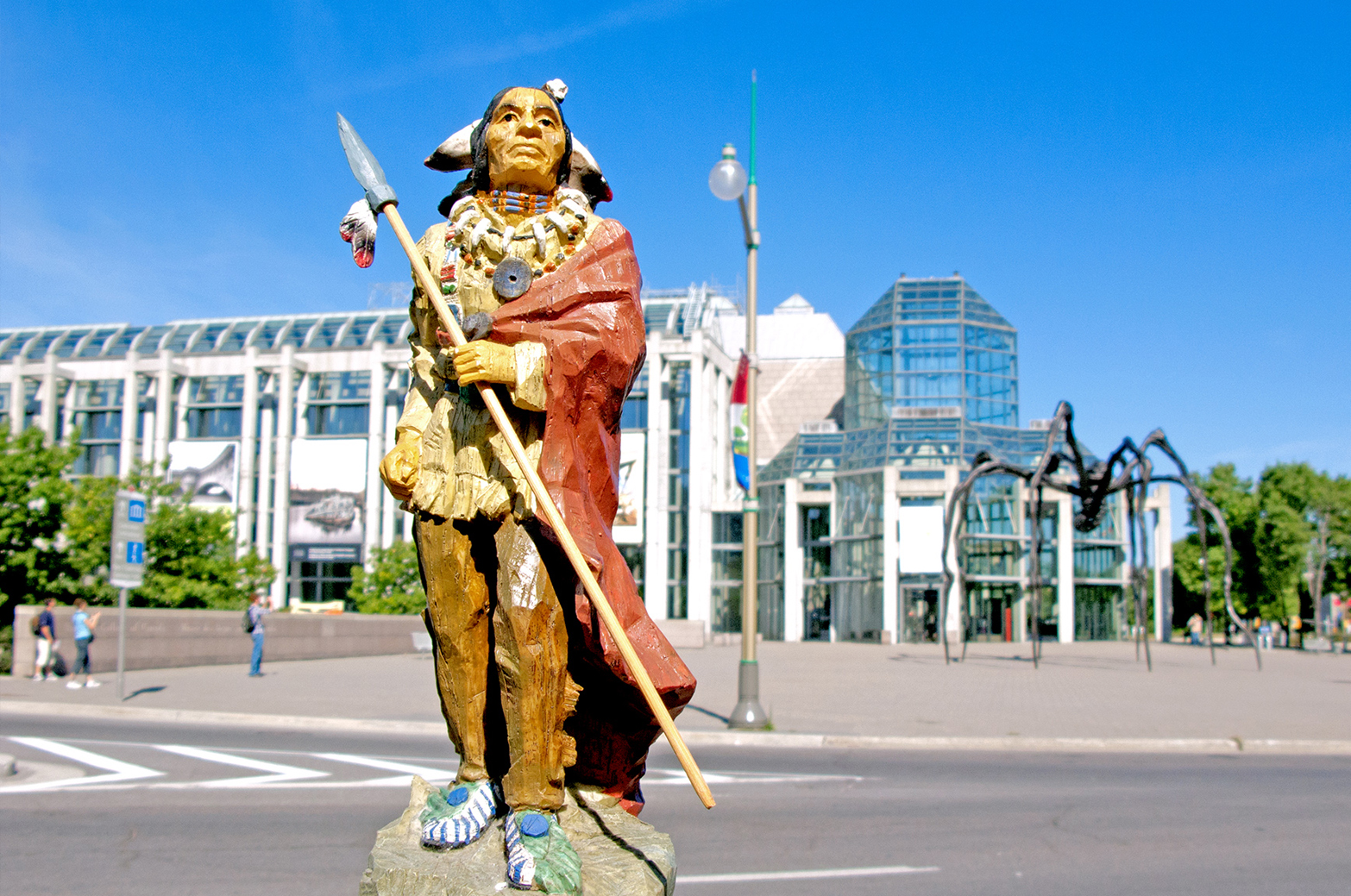
This was the scene that confronted Jeff. Also positioned into the panorama was a commanding Colonial monument. In 1915 a statue of Samuel de Champlain (1567–1635), attributed in Canadian history as the ‘Father of New France,’ was placed at the site. In 1918, another statue was installed below Champlain. The figure was of an Indigenous man, a native Scout to assist Champlain in his travels through territory that was unknown to him. The statue was placed leaning on one knee while looking out to survey what is also visible in the landscape: the river and shorelines below.
It was his encounter with the monument to Champlain, along with the experience of seeing the Anishinabe Scout, that impacted Jeff in a profound way providing him a reason to stay and engage with the dramatic but also problematic landscape he found himself in.
In 1992 he began a conversation with Champlain as a strategy to question the impact of colonization. He also posed a query to the Scout: “If you could come off this site, where would you go?”

NEW! Scout Relocation Project RFP – view here
A project reimagining the colonial landscape through the eyes of the Anishinabe Scout
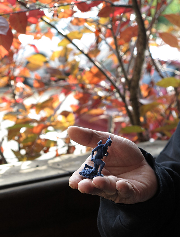
Through his photo-based practice, Jeff Thomas has addressed the colonial erasure of Indigenous presence, particularly in the urban space. With over three decades of engagement with the Champlain monument as well as with the Anishinabe Scout’s relocation site at Major Hill’s Park, the figure of Scout has become an avatar for Thomas, a way to move through the urban space while asserting:
“We are still here.”

ADDITIONAL INFORMATION
- Land, Spirit, Power was co-curated by Indigenous and Non-Indigenous curators that included Robert Houle (Saulteaux), Charlotte Townsend-Gault and Diane Nimroff who was the head curator of the NGC at the time
- Land, Spirit, Power included the following artists: Carl Beam, Rebecca Belmore, Dempsey Bob, Domingo Cisneros, Robert Davidson, Jimmie Durham, Dorothy Grant, Hachiviv Edgar Heap of Birds, Faye HeavyShield, Alex Janvier, Zacharias Kunuk, James Lavadour, Truman Lowe, James Luna, Teresa Marshall, Analis Obomsawin, Kay WalkingSitck, Lawrence Paul Yuxweluptun
- In an outstretched arm of the Champlain statue is a navigational instrument called an astrolabe, the statue holds it up but it was mistakenly rendered upside down.
- In 1996 the Assembly of First Nations (AFN), under the leadership of National Chief Ovide Mercredi, petitioned to have the Anishinabe Scout statue removed from its location below the Champlain statue at Nepean Point as it was felt that the Scout was in a subservient position under Champlain.
- The original plans for the site included having a canoe installed beside the Scout but the project ran out of funds to complete the canoe.
- In 2000 Jeff Thomas photographed artist and curator Greg A. Hill at the now vacant spot of where the Scout was once installed. In the images Hill sits inside a canoe built he constructed out of the boxes of popular cereal brands. Jeff also documented Hill’s performance portaging the canoe from behind the NGC at Nepean Point across the road to the then new location of Scout installed in a secluded corner of Major’s Hill Park.
- Thomas went on to take more images of Hill at the same location along with other Indigenous and Non-Indigenous people for his Seize the Space series.


