The map is but a guide. There is no ‘direct’ or ‘correct’ route through the sites the map takes you to. You are invited to find your own path as well as revisit the same locations when the seasons change, the wind shifts, and the sounds and smells are different.
With the assistance of digital technology, the WTRM Tour can be taken by being physically present in the land but it is not a requirement. There are multiple ways you can enter into the story being told and many ways for new perspectives of the land revealed. And those perspectives can be applied to other places and situations.
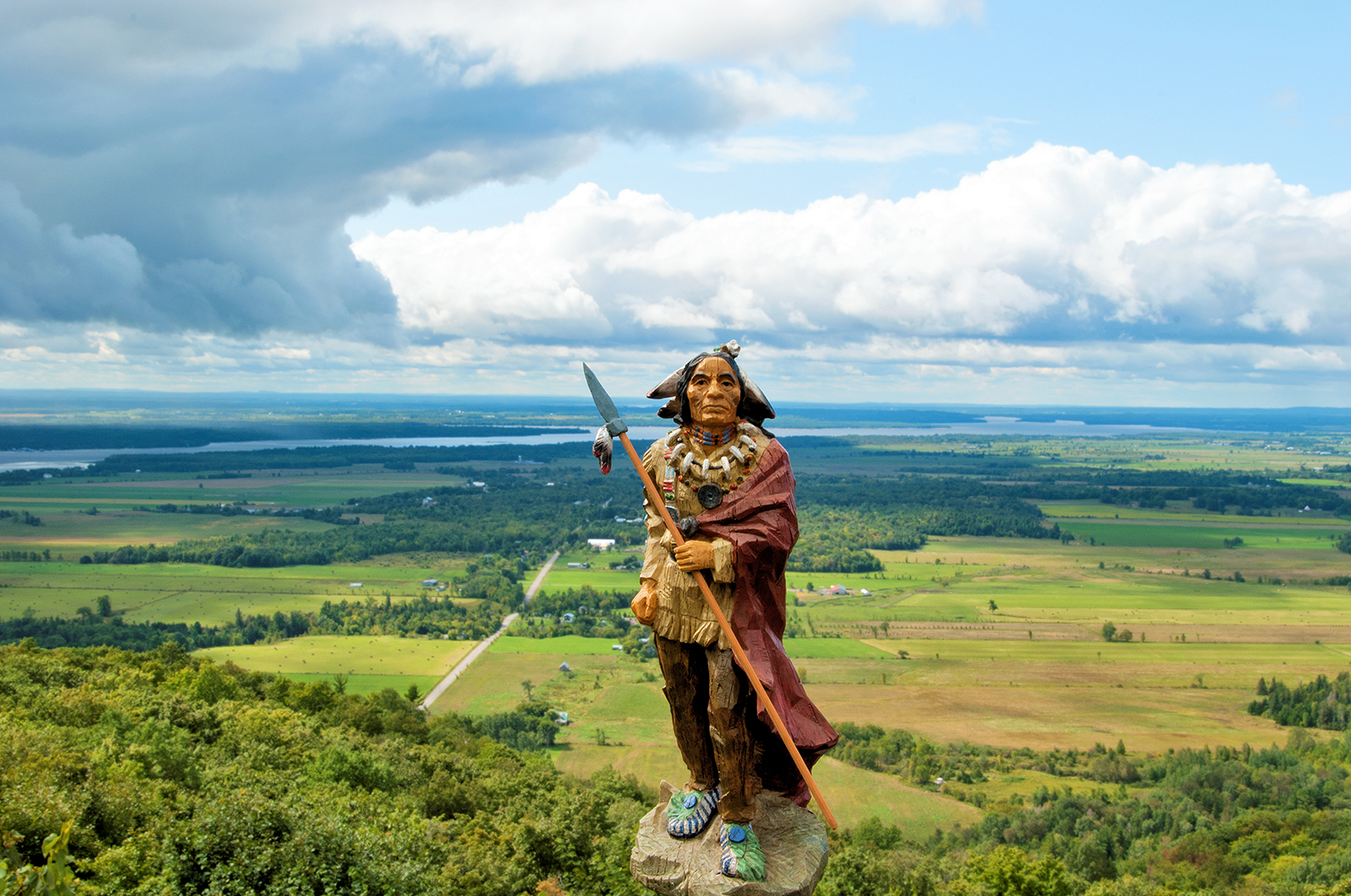
The photographic images embedded in the WTRM Map cover Jeff’s practice starting from 1992, upon Jeff’s encounter with the Samuel de Champlain monument and the Anishinabe Scout, until now and may also be added to as Jeff continues his engagement with this region.

